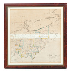
An 1814 map of Ohio by Samuel Lewis; image credit on full record.
image credit on full record.
Find Current Values for your Antiques!
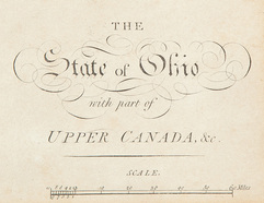
Map; Lewis (Samuel), State of Ohio with part of Upper Canada, 1814, Engraving, Hand Colored.
An 1814 map of Ohio engraved by Samuel Lewis and published by Matthew Carey in his "General Atlas". "The State of Ohio with part of Upper Canada etc" ... [more detail available via subscription]