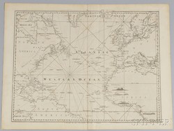
A Chart of the Atlantic Ocean printed in 1775 for Robt Sayer; image credit on full record.
Find Current Values for your Antiques!
Nautical Chart; Sayer (Robert), Chart of the Atlantic Ocean, 1775, 25 inch.
A Chart of the Atlantic Ocean, London. Printed for Robt Sayer, Map & Printseller, No. 53 in Fleet Street, as the act directs 20 Feby 1775, showing par... [more detail available via subscription]