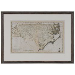
 | | A 1795 map of North Carolina by Samuel Lewis; image credit on full record. |
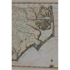 | | image credit on full record. |
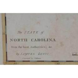 | | image credit on full record. |
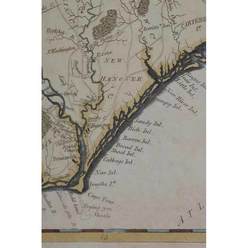 | | image credit on full record. |
|
Find Current Values for your Antiques!
Map; Lewis (Samuel), North Carolina, 1795, 19 inch.
Map of The State of North Carolina by Samuel Lewis, 1795, from Carey's American Atlas, the first map of North Carolina printed in the Un... [more detail available via subscription]
p4A Item F7968156
|
Category: |
ephemera |
|
Origin: |
America |
|
Type: |
maps, globes & charts |
|
Year: |
1795 |
Learn more about this item:
 |
Auction Sales History |
|
Pre-Sale Value |
 |
Condition |
 |
|
Provenance |
|
Reference Notes |
|